OKOTOKS – A snowfall warning is in effect for much of southern Alberta from Kananaskis and Okotoks to the U.S. and Saskatchewan borders.
The mountains could see up to 30 centimeters fall between Thursday and Friday.
Environment Canada says wet snow will continue to develop and intensify along the southern foothills and eastern slopes of the Rockies.
“On Thursday, steady snowfall will bring an additional five to 10 centimetres, except near Waterton Lakes National Park and along portions of Highway 22, where accumulations will reach 15 centimetres,” reads a weather alert from the agency.
Here’s a pic of the #snow in #Waterton (from my sister) #abstorm pic.twitter.com/gMw2XUnfTr
— Kayla Butler (@ButlerKayla) May 20, 2021
Snow there should taper off by Thursday night.
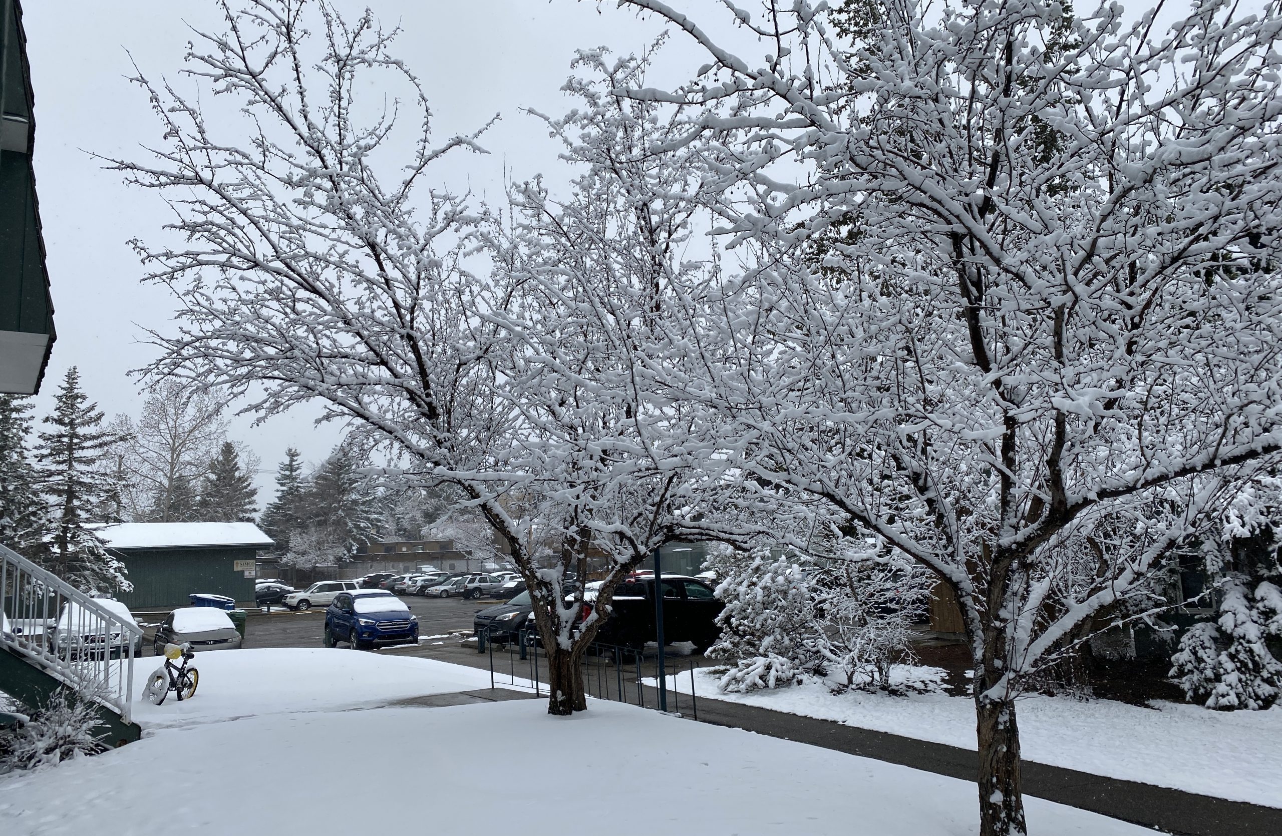
Calgary is expecting some light snow, but the city and communities to the north and east are exempt from the snow warning.
Snow just tickles Calgary today but still could see a cm or 2 especially across the SW part of the city. @660NEWS #abwx pic.twitter.com/mll0SVK3qC
— Michael Kuss (@Kusswx) May 20, 2021
Thursday’s high in the city is just above freezing at one degree.
Environment Canada says wet heavy snow can cause tree branches to break and travel conditions could deteriorate quickly.
Cities further south can expect to see up to 15 centimetres of snow fall over the next two days.
“Total snowfall of 10 to 15 centimetres will fall near the international border with local amounts approaching 30 centimetres near the Cypress Hills.”
If you find yourself buried in snow and are digging out your yard or car, Environment Canada says to take frequent breaks as shovelling lots of heavy snow can cause injury.